Explore the beautiful Isle of Colonsay off the beaten track!

The guided walk options below range from gentle excursions to day-long hikes - perfect to blow the cobwebs away, discover some history, and spend time in nature.

Discover rugged coastlines, bird cliffs, archaeology, nature & big skies!

From the croft back gate!

~ Sea cliff vantage points & archaeological interest ~ 

At the right time of year, the density of jostling birds at Druim nam Faoillean is memorable; raucous and smelly!  Thousands upon thousands of birds return to perilous ledges to nest and rear chicks each year all along this dramatic coast.  The vantage points allow great views of nesting birds and their flights out to sea – there’s a pair of binoculars to borrow if you’d like.  The best bird activity between April and late July, after which it turns to quiet…well, the frothy crashing waves begin to make up for it in winter!

Discover limpet shells from an ancient midden, and hear what archaeologists found beneath an atmospheric crag – occupation spanning a few thousands of years!  Exploring with company, we’ll spot wildflowers, peer at lichens (looking incredible at x10 with an Opticron lens!), check out fascinating bird pellets and special sea beans washed up on our coastline from all the way across the Atlantic.  A circuit of ~3km at a relaxed pace – from £40

Summer Evenings

Gorgeous on a long summer evening. After dinner trips out to the bird cliffs I recommend! ~2km, from £30

Pigs Paradise

~ A coastline adventure ~

Setting out from the croft, this dramatic coastal walk brings you along stunning clifftop paths to the complex and awe inspiring terrain of Pigs Paradise.  A half day excursion, ~5-6km, some ascent required both ways, time for a packed lunch & exploration – from £50.

Kilchattan to Kiloran

~ A memorable coastline epic! ~

For exploring a longer stretch of Colonsay’s coast – and if return transport allows – continuing on from Pigs Paradise all the way to Uragaig’s spectacular fort promontory; a dramatic stretch of Colonsay’s coastline far from the beaten track.


This is an A to B route, made possible with a vehicle left at the end point. ~8km, one way, from £90, inc. transport

Day excursion birdwatching

~ April to July ~

An unhurried ‘most of a day’ exploration of coastline & birds, combining the vantage points at the birds cliffs nearest to the croft, with the rugged Pigs Paradise complex.


~7km, from £75

From Scalasaig

~ The mighty green Dun Eibhinn ~

History, standing stones, lichen & views off the beaten track!

Setting out from Scalasaig, this route is ~3km, with some ascent and descent, an overall elevation gain of 128 metres. Underfoot there’s rough ground, boggy in places, and late summer the height of the bracken can be a bit of a challenge! Even though this is short in distance, it’s best to allow 2 hours – from £45.

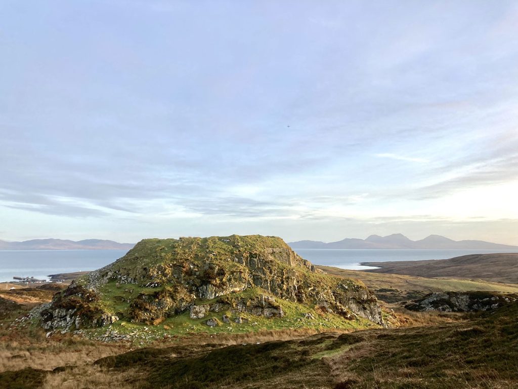
Dun Eibhinn, a reflection

Lizzie Keenaghan

Some of you might know that my day job sees me amongst a web of emails and spends, reports, contacts and spreadsheets, a coordinator of projects.
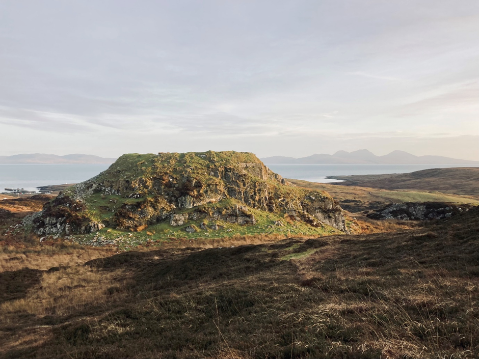
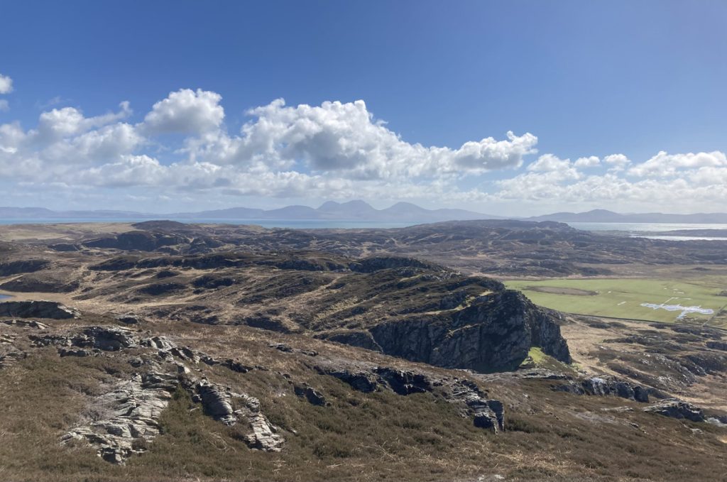
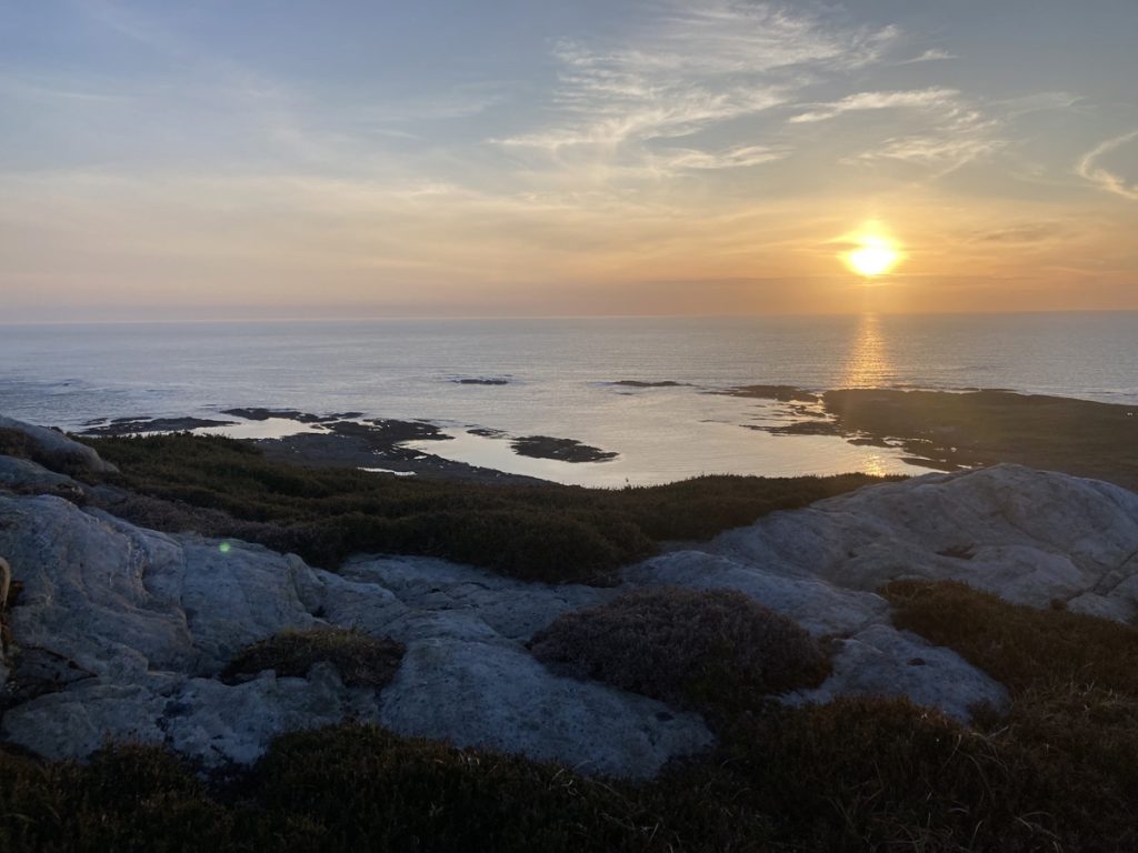
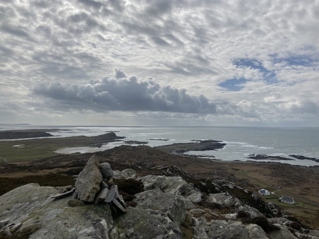
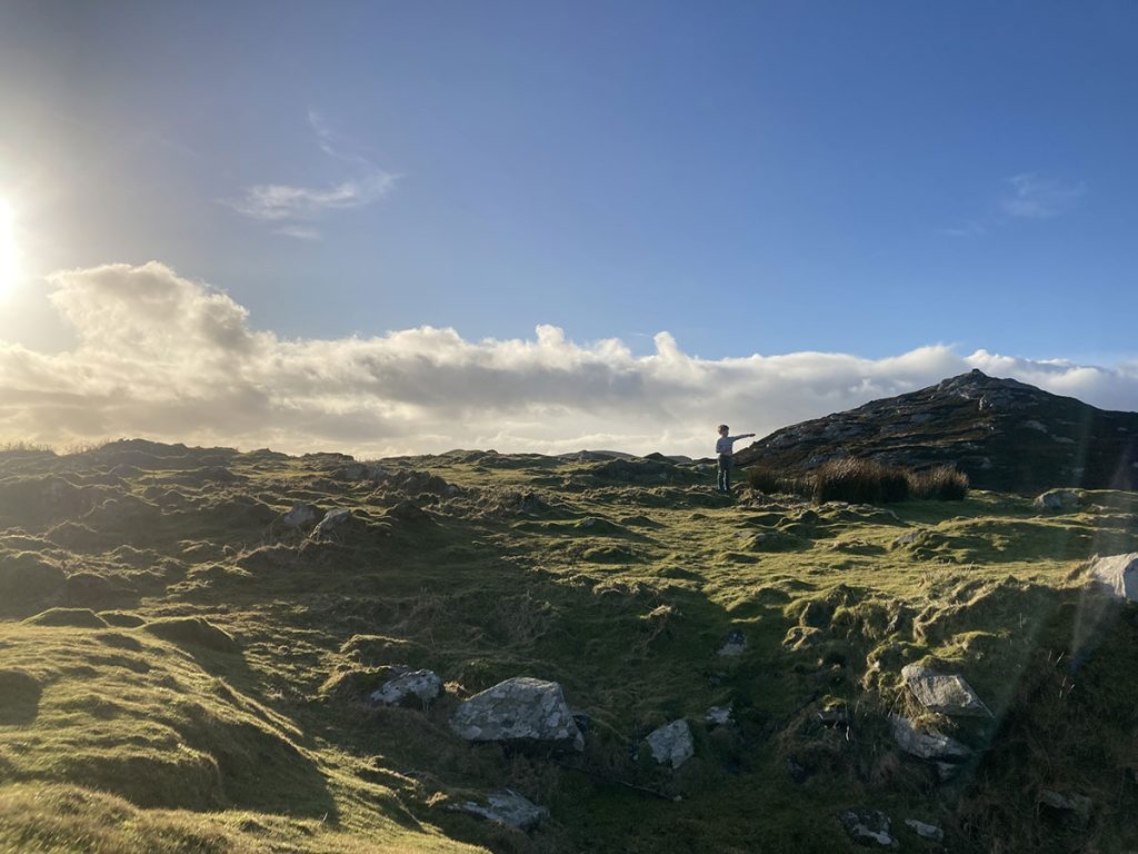
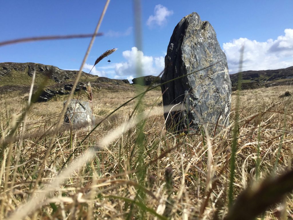
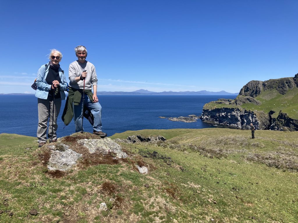
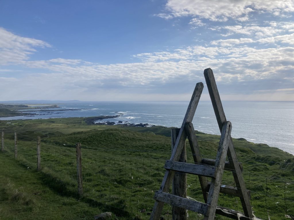
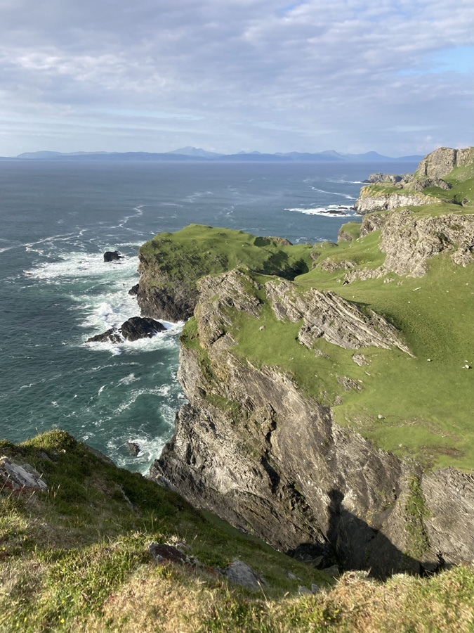
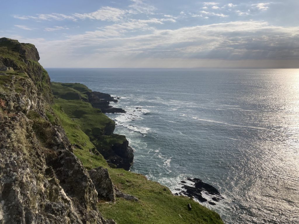
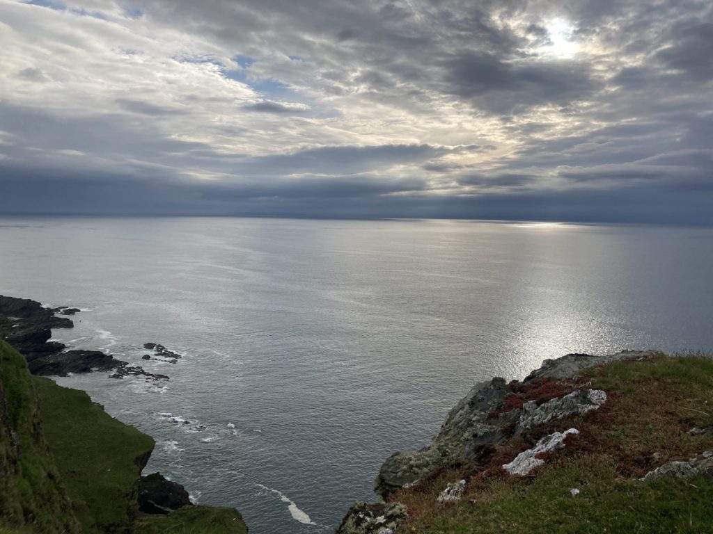
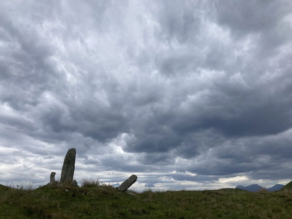
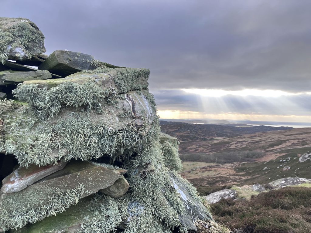
Some days it can be so difficult to just get up from the desk and step away, but – a recent breakthrough. If I can just make it out the door, a walk up to Dun Eibhinn I’ve discovered is quite the perspective shifter.

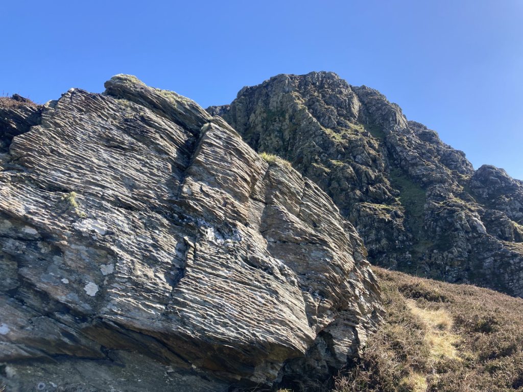
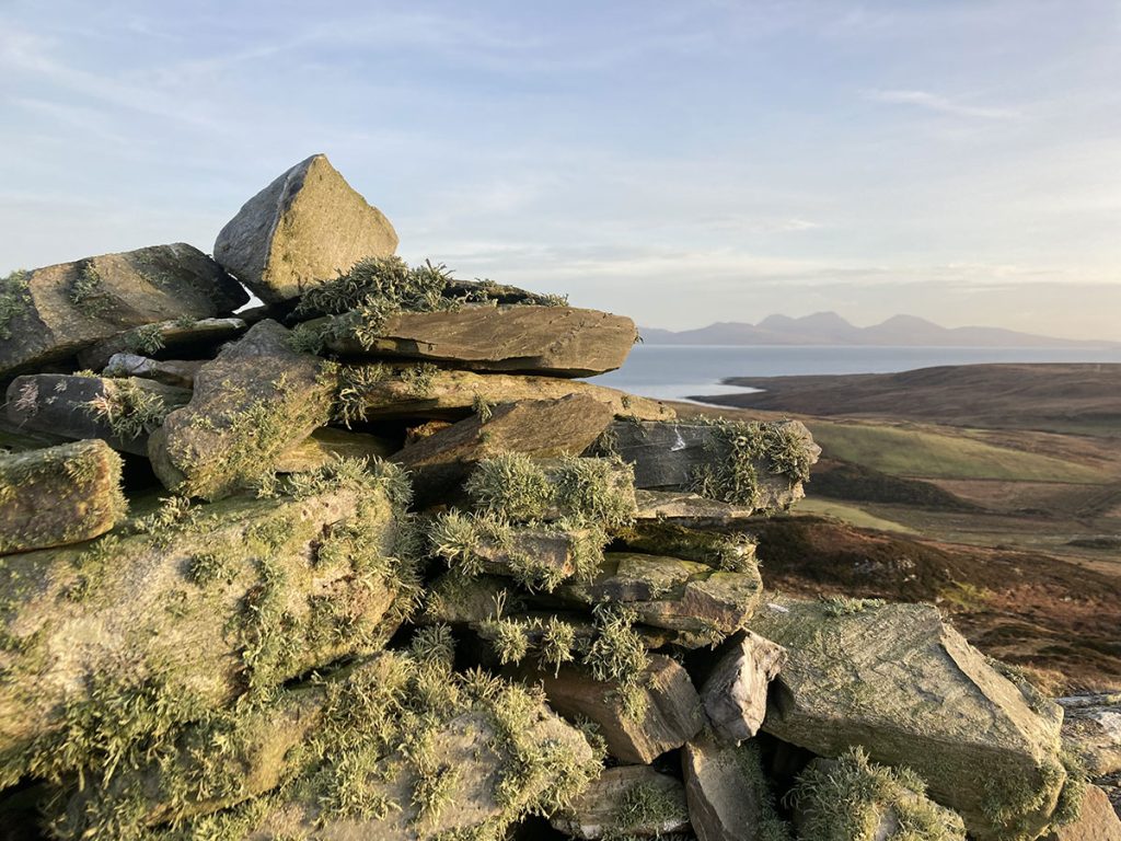
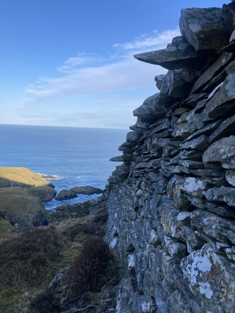
Walking around the rubble, it occurred to me, these guys were the original project coordinators!

I wouldn’t like to say what their aims and objectives were, but they worked to create something, surely with resources and limitations, characters and budget, opportunity and challenge on account of our location, just like today, but unplugged.

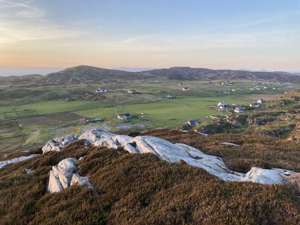
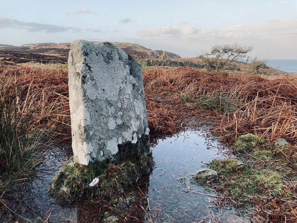
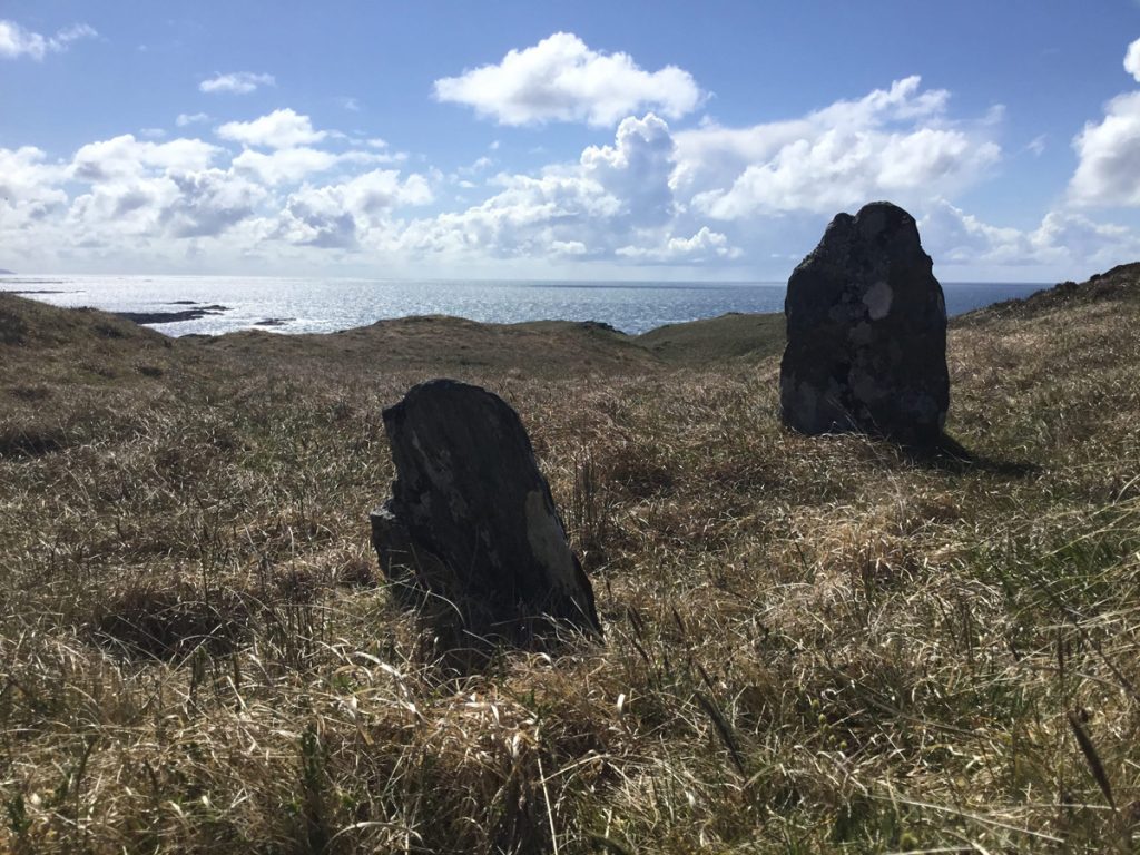
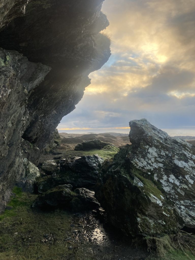
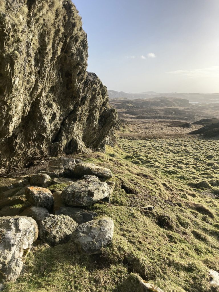
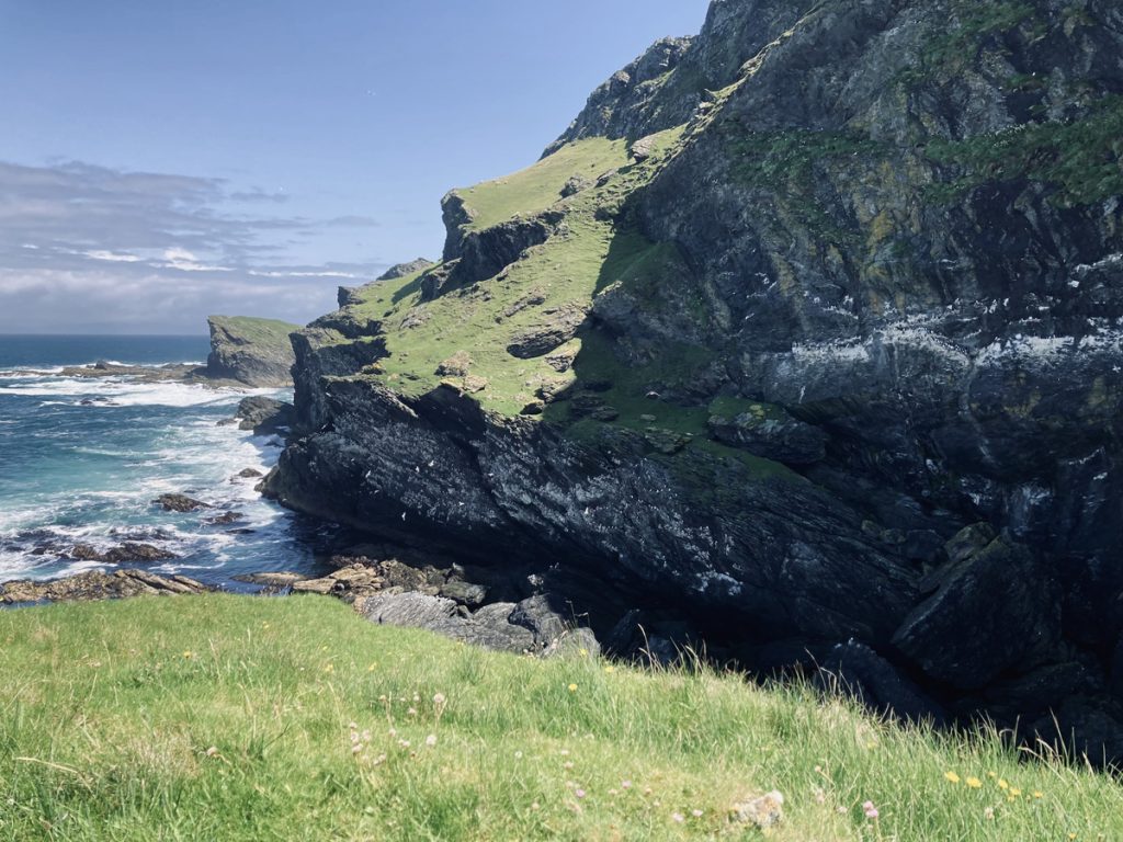
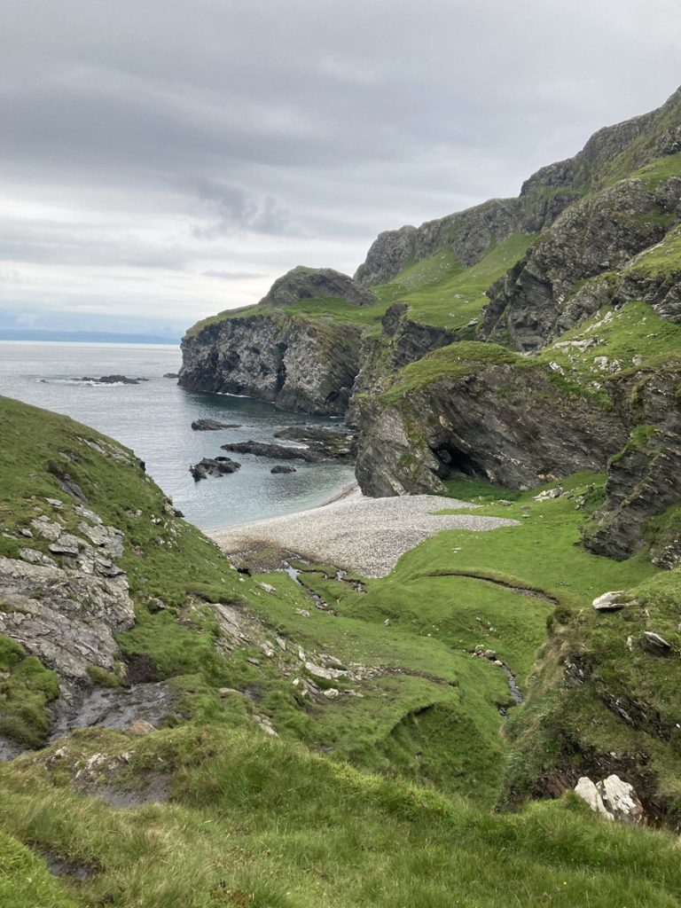
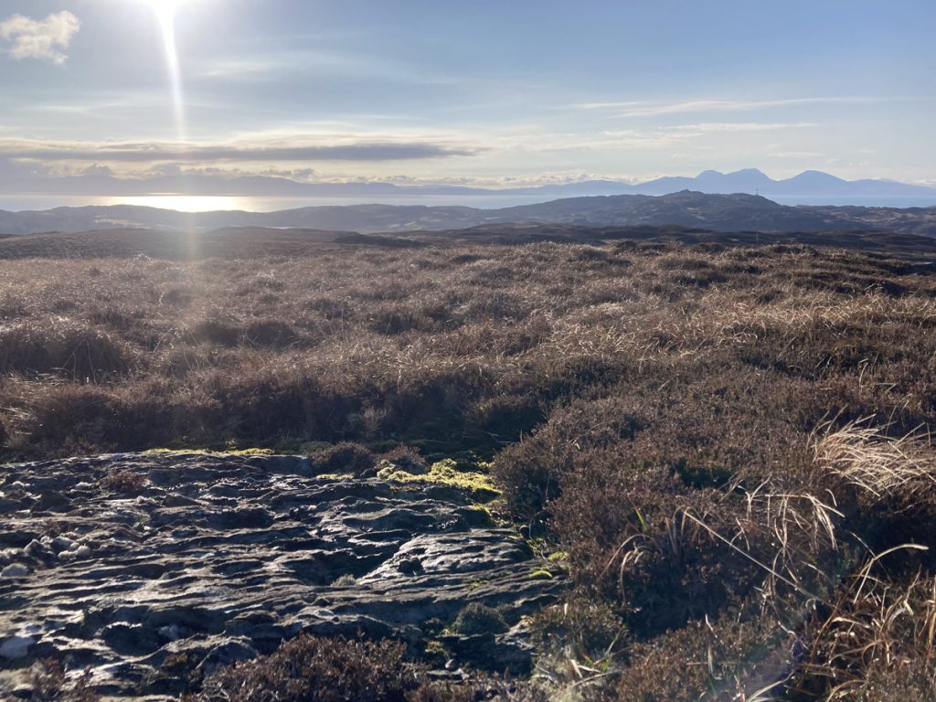
And now what of it, their time passed, things moved on and what’s left to wander through is the shadow of their efforts, and their choice of a great spot. Times move on and the grass grows green. It really does by the way, really green!

If you’re wondering who ‘they’ are, or were, well me too, and it’s not simple to answer. The who’s who of Dun Eibhinn is quickly as bewildering as Scotland’s history ever is.
They were the Iron Age hill fort creators, the Celts and the Dalriadic Irish, who just to confuse you wouldn’t have called themselves Irish, but maybe the ‘Scotti’ that gave Scotland her name.
They were also the Viking Norse and the Gaels, Somerled’s Grandpa, caretakers for the Lord of the Isles, the McPhees, or was it McDuffies?

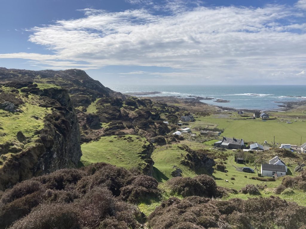
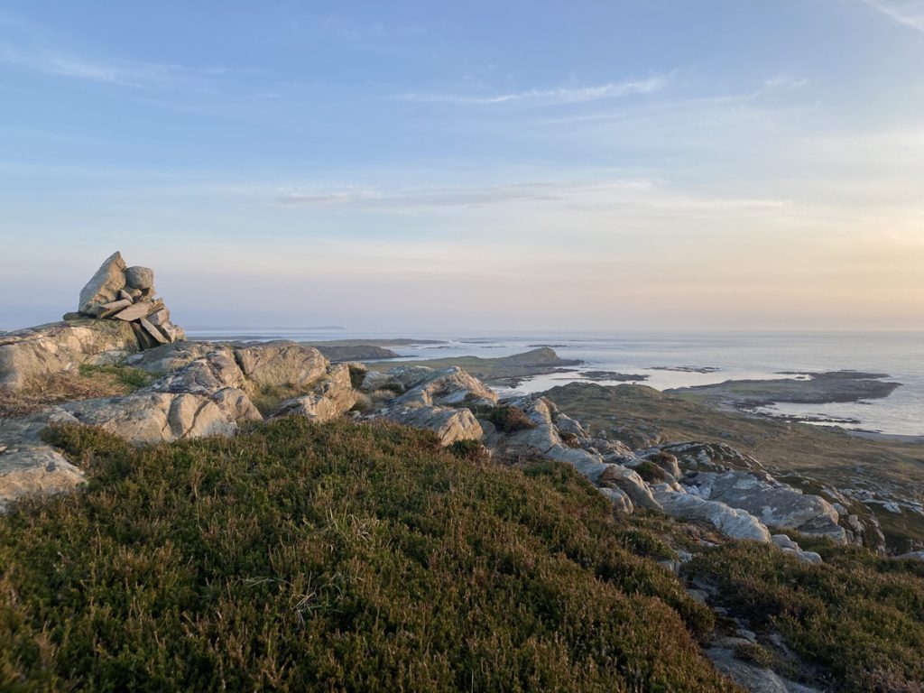
They were traders, record keepers and due collectors. Clan chiefs and family, people of different places and language, building, maintaining, claiming and repurposing over 2000 years. Arriving by boat, holding court, making it home, their stronghold gained and lost at this great hall.

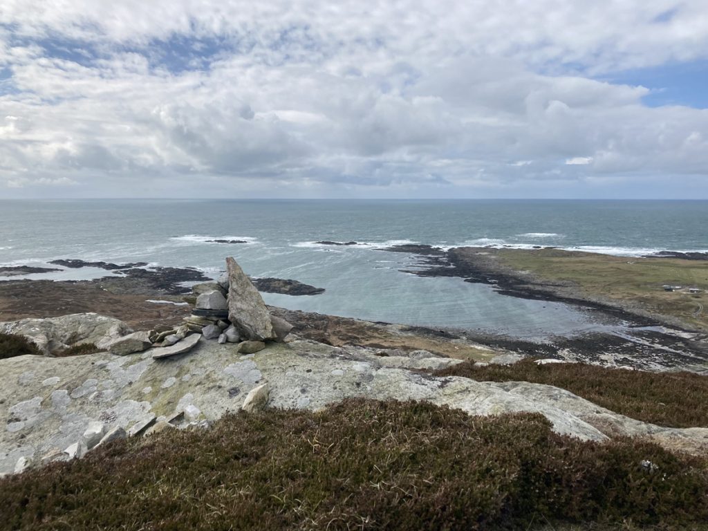
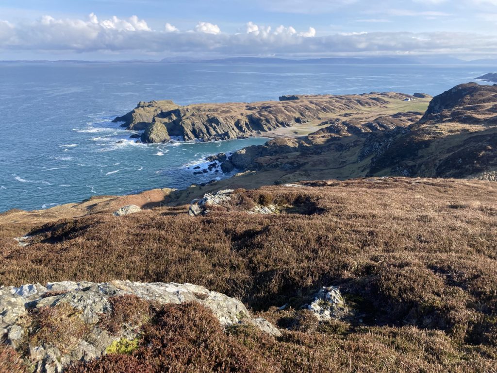
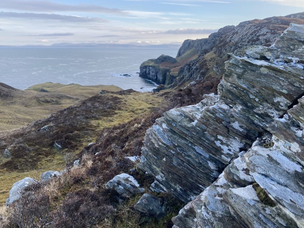
It’s a place where significance was always rooted in Colonsay’s geography, a fertile stepping stone when the sea was the road, a place from which to control the seaways.

People say things like, ‘..if only the rock could speak, the stories it would tell’, well Dun Eibhinn is speaking, just you have to really listen to hear it. It’s saying, ‘Take note that times move on, your work will one day be rubble, and the grass grows green’.

Colonsay’s central hills

~ Blow the cobwebs away, blustery heights & new perspectives ~

For kids, Beinn nam Caorach is a rewarding hill with a lot of character!  A great vantage point from which to hear about the Vikings at Dun Gallain! 

This is a stomp over high ground, over springy heather, seeking out wee cairns and great views.  The high points in this area are Beinn nam Caorach, Meall a’ Chaise and Carn Mor, up from Machrins & Kilchattan.  Some steep ground, thick springy heather, boggy in places also – the views make it worth the effort!  Routes vary between 2.5 ~ 5km – from £40.

Gorgeous on a summer evening, after dinner walks are a possibility.  Few visitors to Colonsay explore these interior hills – truly off the beaten track!

Further afield

~ There is so much to explore! ~

If you’re interested in somewhere else, maybe Balnahard’s rugged west coast, or finding Kiloran’s caves – get in touch, and I’ll see if I can help plan an excursion – from £45

Long before Calmac, when Colonsay’s high points were forts, and when limpets and hazelnuts were being processed and eaten under the shelter of crags, the sea was the road. For sea-faring people of the olden days Colonsay was a handy and fertile stopping place between Ireland and islands to the north; a seasonal feast for Mesolithic hunter gatherers, home for the hardy folk of the Iron Age, and then a Viking stronghold. From up high and along our coastlines you can get a sense of this. The sea stretching north to Mull and south to Islay was the road for people of the past we can just catch glimpses of through the hut circles, stones and traces they’ve left behind.